American Lifestyle
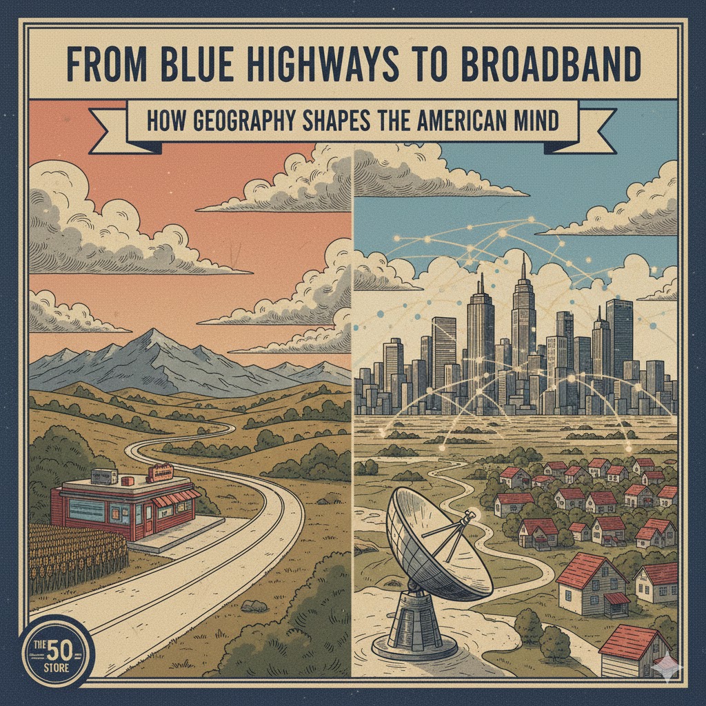
From Blue Highways to Broadband: How Geography Shapes the American Mind
The American mind is not a blank slate; it is a landscape. Its contours are drawn by the vast, often contradictory geography of this continent, a process as old as the nation itself. From the dense, vertical energy of the Eastern seaboard to the horizontal, solitary sweep of the Great Plains, geography has always been the unseen architect of American character, shaping our economy, our politics, and, most profoundly, the way we think about opportunity and distance.
This deep relationship between place and perspective is central to understanding the American identity. We have moved from a nation defined by its physical trails and rivers—the “Blue Highways” that crisscrossed the old maps—to one increasingly defined by the invisible speed and ubiquity of broadband. This shift is not just technological; it is a fundamental re-shaping of our national geography of thought, creating new divides and redefining what it means to be connected in America.
The Architecture of Distance: Rivers, Trails, and the Mind
In the early American experience, geography was destiny. The existence of navigable rivers like the Mississippi and the Ohio created immediate, natural hubs of commerce and culture, fostering interconnectedness in those regions. Conversely, the vast, arid barriers of the West nurtured a character defined by solitude, self-reliance, and a suspicion of centralized authority. The mindset forged on a distant ranch in Montana is inherently different from that developed in the dense, collaborative environment of a New England mill town.
Author William Least Heat-Moon famously captured the essence of pre-Interstate America in his book, Blue Highways, a journey along the forgotten, slower state and county routes. These roads fostered a localism where geography mattered intimately. People were known by their county, their valley, or their watershed. The economy was tethered to immediate physical resources: coal seams, fertile soil, or ocean ports. This environment cultivated a sense of regional identity that was strong, proud, and often resistant to national homogenization.
The Great Levelers: Interstates and The Illusion of Flatness
The introduction of the Interstate Highway System in the mid-20th century was the first major national attempt to intellectually flatten the country. It was designed to overcome geographic friction, to make the journey from New York to California predictable, fast, and uniform. It succeeded physically, but it simultaneously fostered an illusion of geographic irrelevance. If all places are quickly accessible, the thinking went, then all places become equally “the same.”
This homogenization was quickly followed by mass media, which further diluted regional accents and cultural differences. However, the physical reality of geography remained, creating a lasting political and cultural divide: the urban centers became zones of high-density interaction and specialized global economies, while vast swaths of rural America retained the physical isolation and commodity-based economies dictated by the land.
The New Digital Divide: Broadband as the Final Frontier
Today, the defining geographic force is the presence—or absence—of broadband access. High-speed internet is the new, invisible infrastructure, determining a community’s economic viability, educational access, and cultural integration. It has created a digital divide that mirrors and deepens the old rural-urban split.
Where broadband is plentiful (the urban and suburban cores), the geography of the mind is one of instantaneity and global connectivity. Opportunity is detached from physical place; information is infinite. Where broadband is scarce (often rural, mountainous, or underserved inner-city areas), the geography of the mind remains one of isolation and scarcity of information. A person’s potential can be capped not by their intelligence or effort, but by the physical difficulty of running a fiber optic cable to their home.
The American Mind, therefore, is being shaped by two concurrent forces:
- The Persistence of Place: The physical land—the mountains, the distances, the climate—still dictates basic quality of life and economic drivers (e.g., farming, logging).
- The Disruption of Digitality: The internet offers a potential escape from geographic constraint, allowing a designer in rural Montana to service a client in New York—if the infrastructure exists.
The new national challenge is to bridge this digital gap. It is a necessary project not just for economic parity, but for cognitive equity. If the American myth is built on the promise of opportunity for all, then the physical limitations of geography—whether old highways or new digital deserts—must be acknowledged and addressed. The map of the American mind will only become truly unified when the vital lines of information flow as freely to the quiet county roads as they do to the bustling downtown centers.